Citizen Science Report
Aerial Kelp Survey (Year One)
Te Kohuroa Rewilding Initiative (TKRI) runs a kelp restoration program from spring through to early autumn each year. The program is delivered through a series of community-led active restoration events, where volunteers carry out marine surveying, biodiversity monitoring and kina (sea urchin) harvesting to support kelp regrowth on the rocky reefs at Te Kohuroa Matheson Bay.
To measure the community’s rewilding impact on habitat recovery, photographic images both above and below the water are taken annually to assess changes in kelp forest density and other large brown seaweeds present within the restoration site.
In this report, we share preliminary aerial photographic comparisons of the TKRI restoration site taken by the University of Auckland (2023) and TKRI (2026), showing where areas of kelp and mixed seaweed are regenerating, with assistance from community rewilding.
Introduction
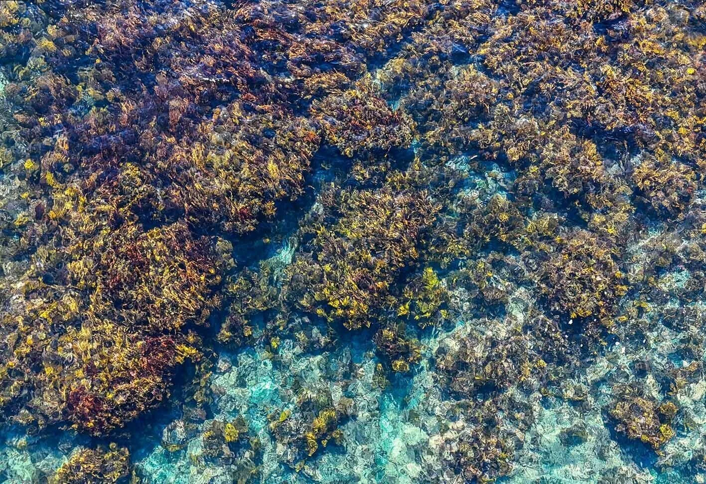
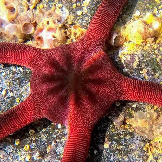
Figure 1: Kelp growing within the restoration site.
Background
Kelp is a large brown seaweed (or macroalgae) that can be found in shallow water ecosystems along Aotearoa's coastlines. Kelp is a relatively fast-growing species which prefers cool temperate water. It is mostly found on submerged rocky reefs, where it forms dense underwater forests. Kelp is a foundational habitat for a variety of reef species and an essential source of food and shelter for ika (fish), kōura (lobsters) and invertebrates such as sea urchins. Kina (an endemic species of sea urchin) are commonly found around Aotearoa living amongst around kelp forests within depth ranges of 1-14 metres.
In recent years, human-driven environmental stressors have contributed to a significant decline in kelp forests globally and along the northeastern coastline of Aotearoa. Overfishing in particular, has reduced the presence of reef guardian species such as tāmure (snapper) and kōura (crayfish). This has resulted in a 'trophic cascade' effect through the food web, causing kina to become largely overpopulated and the formation of barrens. Once established, kina barrens can remain in a relatively stable state, leading to long-term degradation of the environment.
Kina removal has been trialled in an effort to reduce the effects of overfishing. TKRI’s kelp restoration program applies this method at Te Kohuroa Matheson Bay, where community-led kina harvesting is being used as a tool to support habitat recovery. Through the respectful harvesting of overpopulated kina from the rocky reef, community volunteers are working to support kelp forest regeneration through a long-term practice of coastal kaitiakitanga (guardianship).
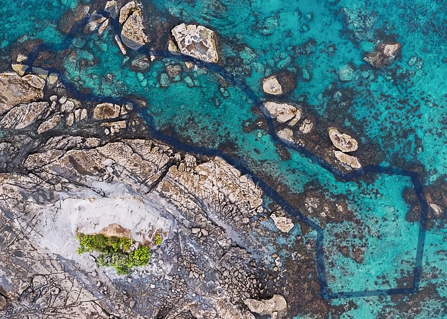
Photographic mapping (such as seafloor photos and aerial drone imagery) is an established scientific tool that can be used in shallow coastal waters to assess the state of subtidal marine ecosystems, including the presence of kina barrens and kelp forests. Aerial imagery can provide an overview of habitat quality at a specific location, while seafloor photos provide ‘ground truthing’ (validation of habitat state) at the site. The drone mapping in this report has been used to broadly assess and compare the presence of kina barrens, kelp, and macroalgae (mixed seaweed) coverage within TKRI’s one hectare restoration site, and show where changes have occurred over time.
Method
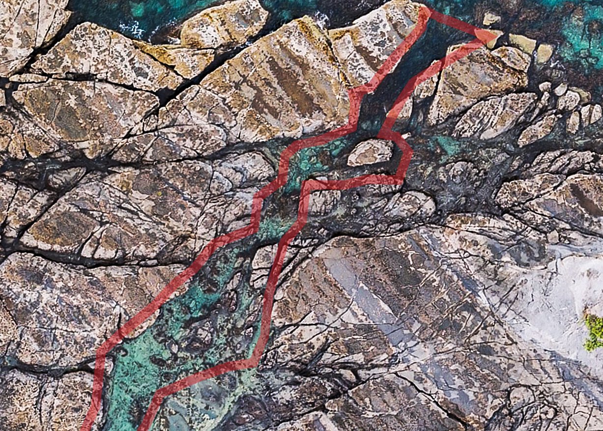
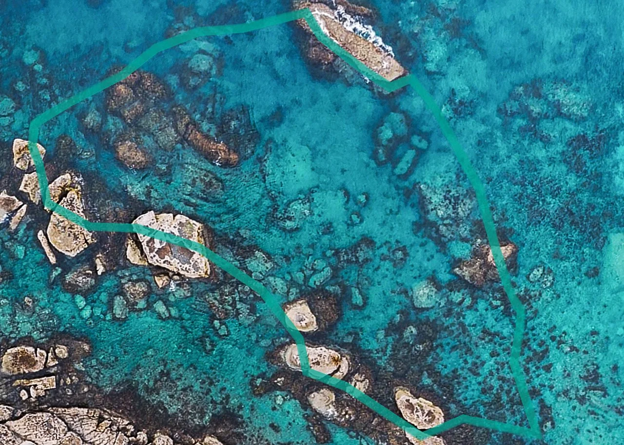
In 2023 University of Auckland post doctoral fellow, Arie Spkysma, carried out extensive drone mapping along the Whanga-o-Maha (Leigh) coastline. The drone imagery was shared with TKRI to assess the extent of kina barren formation at Te Kohuroa Matheson Bay, and determine a suitable kelp restoration site for the community (below).
A one hectare restoration site boundary (with adjacent controls) was mapped with scientific support around the outer reef (see Figure 1), and the presence of kina barrens was verified through a series of geotagged (linked to satellite placement data) photos of the seafloor. To assist with community harvesting, the restoration site was divided into four main zones characterised by depth and reef type.
Kina removals were then carried out between November 2024 and February 2026 within the restoration site. A total of six community events took place and approximately 160 volunteers were involved.
In early 2026, new drone imagery was taken at Te Kohuroa Matheson Bay using citizen science methods, to compare subtidal habitat changes (e.g., barren vs algal coverage) within the project’s kelp restoration site. The individual photos were ‘stitched’ together using non-scientific methods to provide a general visual comparison between the University of Auckland’s original imagery and any changes that could be seen within the restoration site after 24 months of kina removals by the community.
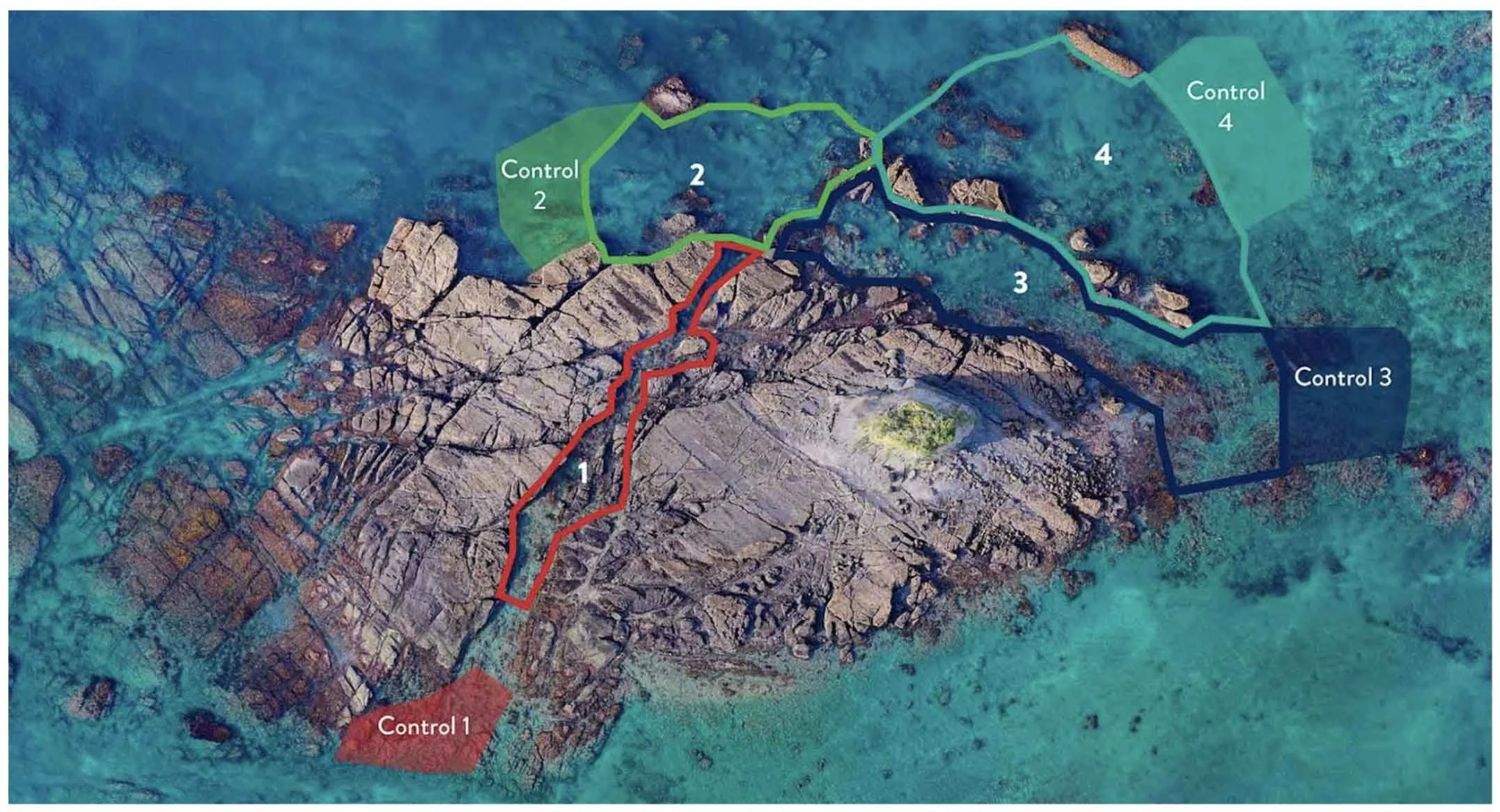
Figure 2: Te Kohuroa Rewilding’s kelp restoration site, divided into four colour-coded harvest zones with accompanying controls
Results
Comparisons between the before (2023) and after (2026) aerial images indicate that the presence of kelp and other large brown seaweeds has increased in all four zones of the restoration site.
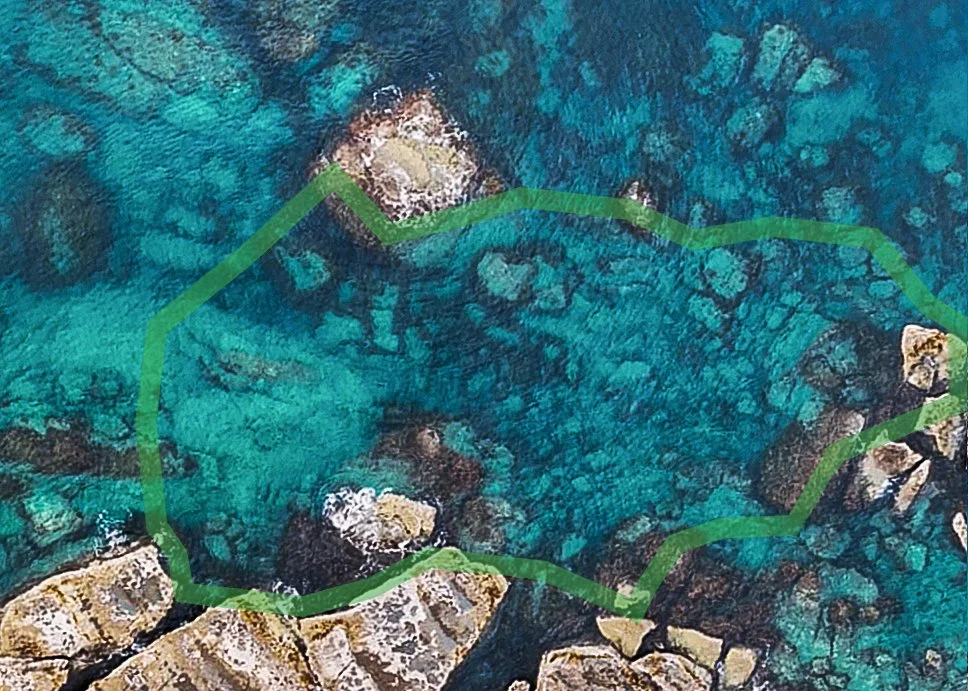
The Green Zone
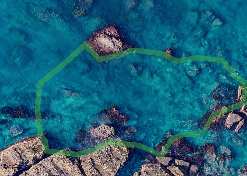
Figure 1a. (left) the green zone in 2023 showing extensive barren area and Figure 1b. (right) in 2026 showing an increased mixed algae in the shallows (1-2m) and deeper kelp coverage (around 4-5m) between the bottom and top rocks.
The Red Zone
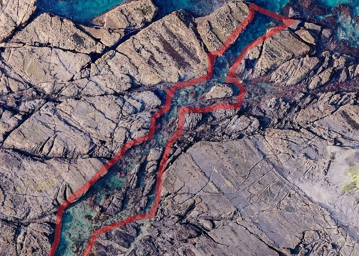
Figure 2a. (left) the red zone or inner channel in 2023 and Figure 2b. (right) in 2026 showing a slight increase in algal growth through the middle of the zone, plus dense kelp beds at the top in ‘The Fish Bowl’ in 2026.
The Blue Zone
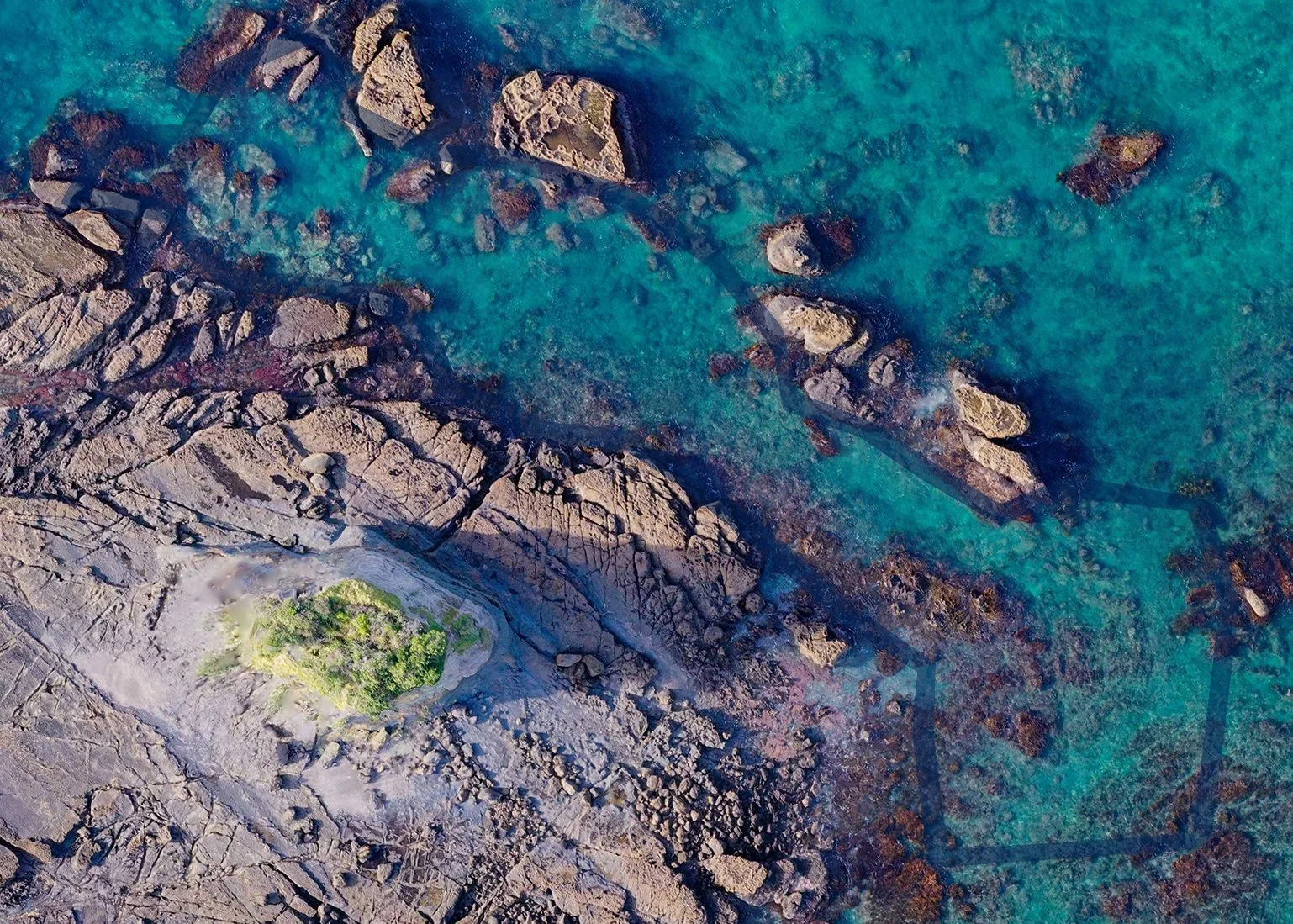
Figure 3a. (left) the blue zone in 2023 showing mixed algae fringing along the island and rock line at around 1-2m and Figure 3b. (right) showing a small increase in fringing algae against the island, and the development of a sparse kelp bed further out, around 3m, in 2026.
The Aqua Zone
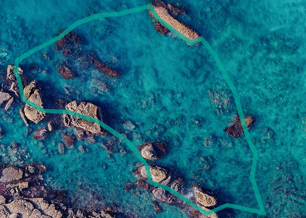
Figure 4a. (left) the aqua zone in 2023 showing extensive barren and Figure 4b. (right) showing an increase in fringing algae against the rocks and a new kelp bed developing in the bottom right of the zone in 2026.
Discussion
Within the restoration site
Comparisons between the aerial imagery of the restoration site in 2023 and 2026 show a general increase in both kelp and mixed large brown seaweeds over time. Within the restoration site, a visible amount of mature kelp can be seen growing the top of the ‘inner channel’ or red zone (nicknamed ‘the fish bowl’ due to the increase in fish observed), which joins with the fringing kelp and mixed seaweed along the boundary of the blue and green zones. Deeper within the middle of the green zone, kelp can be observed growing around the boulders along the seafloor, developing between the edges of the boundary. In the blue zone, fringing kelp appears to have increased around the large, intertidal rocks that sit adjacent to the main reef (or island), and new, maturing kelp can be seen sporadically in between. In the bottom right corner of the aqua zone, both dense and sparse kelp regrowth can be observed, which also crosses outside of the boundary and the restoration site.
Outside the restoration site and controls
Kelp and other large brown seaweeds have grown back in areas outside the restoration zone. A large increase in mixed weed beds can be seen in the intertidal zone (approx 1-3m) to the left of the island. Deeper kelp beds can also be seen extending above the green zone where depth increases to around 7-10m. Within the controls, a slight increase in algae can be seen within the red, green and blue sites, and a larger amount can be seen in the aqua control.
Initial comparisons between the aerial imagery taken in 2023 and 2026, shows that kelp and other algae has grown back both within and outside of the communities’ kelp restoration site.
There are a number of factors that affect kelp and large seaweed growth, with temperature, turbidity (water clarity affecting light availability), nutrients, kina density and water movement being primary considerations.
Kelp spores travel on ocean currents until they find a suitable reef to settle on. Kelp is more likely to reseed in areas where small amounts of kelp are present.
Despite the amount of barren area within the restoration site, deeper kelp beds along the adjacent coastline and sparse fringing kelp may have increased the potential for new kelp growth to occur. This may also account for the increase of kelp growth outside of the restoration site.
Juvenile kelp (referred to as ‘recruits’) are susceptible to kina grazing. Recruits grow as a single leaf shaped frond with a small stipe and holdfast (stem and ‘foot’) holding them in place. It is possible that the community's kina harvesting efforts between the capture of both aerial images, and the timing of these harvests (before winter growth occurs), may have contributed to reduced kina density on the reef, enabling more recruits to grow to maturity.
Weather patterns may have affected kelp and other algal growth. Despite increases in sedimentation and turbidity on the reef after heavy rainfall events, the shallow depth within the restoration site may assist with the necessary transfer of light through the water column to feed algal growth. While kelp displacement is a normal part of habitat development, an increase in storm events (due to climate change) could reduce the density of new kelp beds, by removing kelp from the reef.
Science vs citizen science
Visual aerial mapping needs to follow a specific process to be accurate enough to be used for research grade science. The citizen science drone imagery taken in 2026 did not follow following these important protocols:
Drone height was difficult to secure using non scientific equipment which may have affected the detail and quality of the images.
The photographs were not taken at consistent intervals, which may have created inconsistent overlapping.
The composition method used to join the citizen science drone photos was not carried out using scientific software. This may have caused image warping and inconsistent ‘stitching’, reducing the opportunity to take accurate measurements of algal coverage.
For these reasons, the comparative ‘increases’ shown between both the before and after aerial images can only be considered a rough estimate, rather than scientifically robust data.
Figure 5: a comparison of the kelp restoration site before removals in 2023 and after in 2026. (Photo credit: Arie Spyksma, 2023 and TKRI, 2026.)
Conclusion
Te Kohuroa Rewilding’s kelp restoration program provides a platform for community education and the involvement of volunteers in ocean conservation. While kina barrens are a known cause of kelp loss, removing kina alone is not a solution to kelp forest regeneration.
From this initial comparison of aerial imagery within TKRI’s kelp restoration site, it can be suggested that kina harvesting can be used as a tool to support kelp regrowth. However there are other factors such as light availability, ocean temperature and storm activity that may impact the likelihood of kelp regeneration at Te Kohuroa Matheson bay.
Follow up drone mapping using scientific methods, plus ground truthing through GPS drop camera mapping and quadrat surveys (to compare changes in kelp and algal coverage) will help to validate any preliminary increases in canopy growth indicated in this report.
Learn about our rewilding and citizen science programs